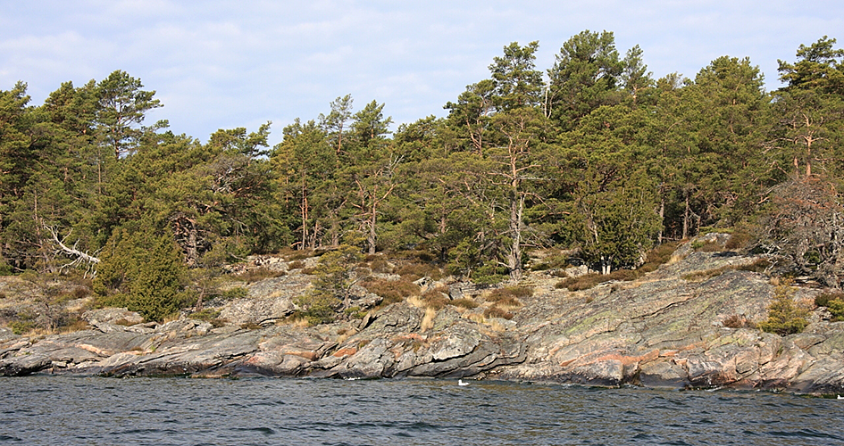
 Foto: Ulf Wiktander
Geology
The terrain is low and flat and rises 20 metres above the surface of Lake Vänern.
The highest points are on the eastern side of Djurö at the same level as the Timmerholmar islands, on Långholmen and on Norra Harholmen.
Rift system
A prominent feature of the topography is the rift valleys that run parallel with the fault line. A second rift system cuts across the former one almost at right angles to it. These fractures have great significance for how the vegetation took shape. The Vänern area is characterised by fault lines in a north-south direction. One of the more significant faults passes along the west side of the Djurö islands, where the water reaches a depth of 70 m a few hundred metres out. On the other hand, the topography is fairly level above the surface of the water.
Rock types
The bedrock consists primarily of red gneiss, composites relative poor in plant nutrient minerals. Greenschist and Cambrian sandstone also are present here. Large stretches of shoreline on several of the islands are covered with surge gravel and rubble stone and boulders of red Dala porphyrite and Dala sandstone as well as Cambrian calcarenite.
Share with your friends
Share this page with your friends on Facebook, X (formerly Twitter), Google+ and e-mail.


