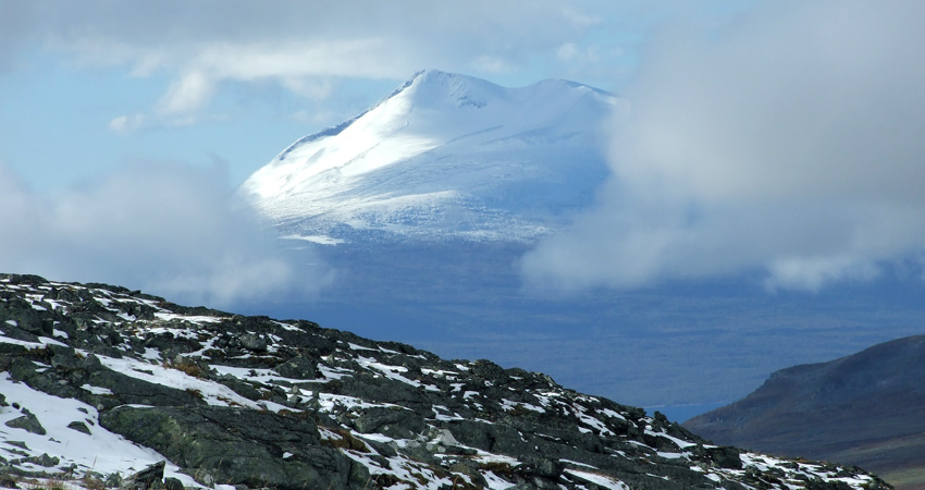
 Foto: Jörgen Naalisvaara
Geology
In the east the national park boundary lies right next to what is called the “glint”.
The glint is a distinct dividing line between flat primitive rock and the more dramatic mountain bedrock. By Mount Giergav in Sáltoluokta, the glint is very obvious. The steep mountainsides show how the new mountains rose up above the primitive rock. They have eroded and been ground down over the years, but the dividing line is clearly visible in the terrain.
Ice rivers, sandy plains and deep earth
South of Giergav is a Sami settlement by Lake Bietsávrre. It is in a deep U-shaped valley that once was formed by the inland ice sheet. Lake Bietsávrre is at the end of the huge outwash plain that begins nine kilometres up in the valley. It demonstrates how ice rivers from the melting, retreating inland ice sheet carried with them enormous quantities of sand to build up a sandy plain with a network of water furrows that are completely dry today. One hundred metres of loose earth lies on top of the bedrock, the greatest depth of earth measured in Norrland.
Amphibolite
The Áhkká massif, several miles away, is an example of dark, hard amphibolite, a type of rock that has resisted the wear and tear of the Ice Age. Southwest of Áhkká there are clear traces of the latest inland ice sheets. When the inland ice melted, it created ice lakes and ice rivers, which in turn formed the delta. Today it appears in the form of terraces, both below Áhkká and in the vicinity of the Gisuris cottages.
Share with your friends
Share this page with your friends on Facebook, X (formerly Twitter), Google+ and e-mail.


