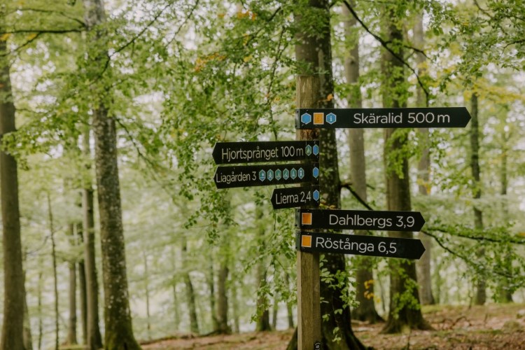
 Foto: Mickael Tannus
Hiking and hiking routes
You can experience nature in the national park in many ways, regardless if you are a seasoned hiker or if you are going for your first walk in the park. You can choose to walk on your own or use one of our self-guiding leaflets.
About the activity
Path detour
In Skäralid we have had to change the heading for a couple of our trails.
Kopparhatten-trail (yellow), Liakroken-trail (red) and Skåneleden - Skäralid-Klåveröd have been re-directed.
Details of the re-direction are available on the Visitor Information -Current Information page
Plan your visit
Plan your visit according to our "traffic light" which you will find on the following page.
Hiking paths
Our hiking map is available at our information boards in the national park or in the visitor centre - naturum Söderåsen.
You can also down load it here.
In the visitor centre you will get up to date information about the trails, more details about specific hiking routes or alternative suggestions if you have already tried everything!
If you come with a baby stroller we now have a folder for you to find your way on stroller friendly paths.
There are several alternatives from Skäralid in the north to Röstånga in the south. You can download the folder here.
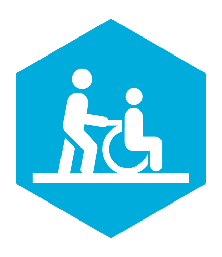
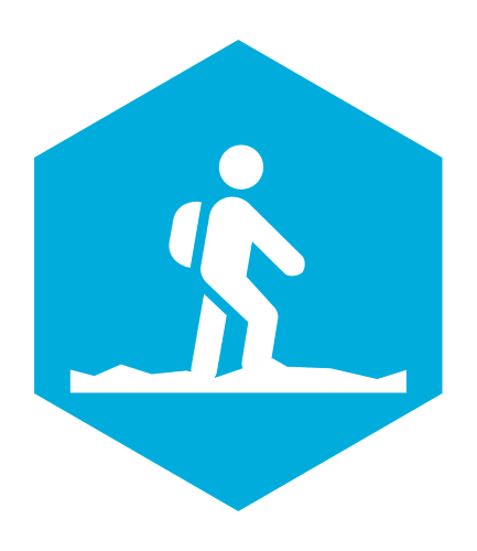
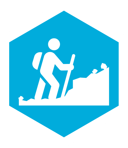
We have three different levels to our hiking routes. They are as follows:

Skäralid starting point
There are different starting points for our hiking routes. If you are in Skäralid, by the visitor centre, you can choose from the following routes.
(Grey) Skärdammen runt walk

Length 900 metres, 20 minutes.
Easy walk around the pond with a short stroll into the rift valley. Accessible for wheelchairs and prams
You will get a short introduction to the national park, to Skäralid and the cultural history of Söderåsen on information signs along the path.
(Yellow) Kopparhattsrundan trail
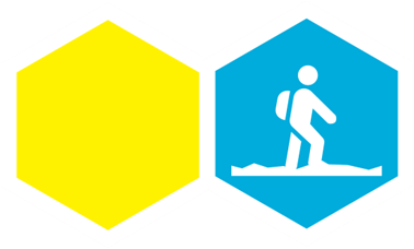
Length 4 kilometres, 90 minutes.
Relatively easy hiking route but not suitable for prams. The path will take you 2 kilometers into the rift valley, onwards up to the plateau and viewpoint Kopparhatten before coming back to the start point in Skäralid.
There is a height difference of 90 meters and a 200 step staircase along the path. Moderate slopes going up and down.
Kopparhatten and surrounding area has a history of its own. There used to be a café here, but it closed in 1966.
Kopparhatten is about 1 kilometer from the visitor centre. It is accessible with car and is easily accessible for wheelchairs and prams.
(Red) Liakroksrundan trail
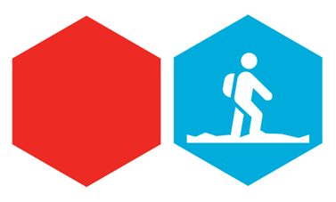
Length 7,2 kilometres, 120 minutes.
Relatively easy hiking route. The whole route is on the mountain plateau where you will walk in a beech forest with meadows and ruins of croft houses.
You can adjust the length of the route by choosing to use a white short cut or walk on old forest roads.
The start, and end, of the path is at the bottom of a 200 step staircase, but you can choose to start your walk on top of the mountain if you take a car up. There are several options for parking your car and to start your walk. If you start your walk at the top, the hiking route will be suitable for more terrain going prams. There are still some tricky passages. Ask in the information desk for details.
(Blue) Hjortsprångsrundan trail

Length 7,7 kilometres, 180 minutes.
Our longest trail and perhaps hardest. Not suitable for prams. The path will take you 4 kilometres into the rift valley and up on to the south plateau where it will pass the viewpoints Lierna and Hjortsprånget before the descent down to the visitor centre in Skäralid. A part of the route is paved with large stones.
There is a height difference of 90 meters with a steeper climb.
The upper part of the trail can be walked with a pram, but then you need to find an alternative way up - for example with a car along Serpentinvägen. Ask in the visitor centre for details.
Hjortsprånget (Deer leap) is a special viewpoint that has gotten its name from an old stone age hunting method.
Röstånga starting point
If you start your hikes in Röstånga you can choose the following.
(Black) Lake Odensjöpromenade

Length 1,2 kilometres one way, 20 minutes.
Easy walk accessible for wheelchairs and prams.
Starts with a short descent down a slope from the tourist information in Röstånga
The trail takes you through Nackarpdalen valley with meadows, pastures and beech forest. The trail ends at the Odensjö lake.
Why not go for a swim, if weather is permitting? The lake is a giant spring where all water comes from the bed rock underneath the lake.
(Purple) Nackarpsrundan trail

Length 4,3 kilometres, 90 minutes.
Relatively easy hiking trail that starts with a short descent down a slope from the tourist information in Röstånga. The trail is not suitable for prams.
The path takes you through beech forests, along pastures and meadows and includes a hight difference of 40 meters.
You will have a nice view over the lake Odensjön, and you can if you follow the white short cut get down to the lake itself.
Nackarpdalen valley and lake Odensjön are popular places to visit for the people of the village Röstånga, and have been for a long time. The lake is popular for baths and fishing. (You need a fishing license which can be bought at Ica in Röstånga)
(Yellow with white dot) Blinkarprundan trail

Length 7,2 kilometers, 120 minutes.
A longer, varied trail partly outside the national park. Here you can enjoy the tranquillity beyond the more well visited areas of the national park, with a chance to see fallow deer.
The trail passes through forests and along meadows on gravel roads and forest paths. The trail will go through a pasture where cows will be grazing during the summer half of the year.
If you would like to go for a run in the national park this route is a good alternative.
(Blue with white dot) Lake Odensjön view

Length 2,6 kilometers, 45 minutes
An easy, shorter trail on gravel and forest roads. Will offer a beautiful view over the Lake Odensjön. Trail starts and ends at the sports field in Röstånga where some of the trail is the same coming and going but a loop has been added on top of the lake. Suitable for baby stroller.
If you would like to go down to the lake, follow any of the white connecting trails.
Härsnäs starting point
If you start in Härsnäs, (parking at N 56°1'16,927" E 13°15'55,557"), you can hike in the middle parts of the national park.
(Green) Härsnäsrundan trail

Length 4,9 kilometres, 90 minutes.
Relatively easy walking through mixed deciduous forest of varied age. You will cross over some streams and stone walls. Large parts of the route are suitable for terrain going prams but there are some tricky passages. Ask at the information desk for details.
(Orange) Skåneleden trail
Ridge-to-ridge long distance trail. Within the national park a total of 13 kilometers, ca 240 minutes. With varied difficulties as follows...

Röstånga to Skäralid (easy). 7 kilometers, 120 minutes.

Skäralid to Klåveröd (difficult). 5,7 kilometers, 120 minutes.
A long-distance hiking trail with two sections through the national park, from
Röstånga in the southeast, via Skäralid (with visitor centre) to Klåveröd in the northwest, with views over lake Odensjön (Röstånga) and Kopparhatten (Skäralid).
You will walk through beech forest in varied terrain, passing croft houses, meadows and places of interest.
You can take a detour to the viewpoint over Ugglerödsdalen valley or look at the remnants from the volcano Rallaté. The volcano was active 110 million years ago, and today all you will see are basalt columns.
If you like, there are also some old tales of the area that might be of interest.
There are bus stops along the southern part of the trail, from Röstånga to Skäralid. You can get on/off at the different stops if you walk down to the main road 13/108.
Bus service 518 between Stehag and Klippan.
Contact
Contact visitor centre - naturum Söderåsen:
- via phone 010 224 11 50
- e-mail: naturum.soderasen@lansstyrelsen.se
Time
The whole year
Share with your friends
Share this page with your friends on Facebook, X (formerly Twitter), Google+ and e-mail.


